Brace for Storms: What You Must Know Tonight!
- Update Time : 09:36:27 pm, Monday, 7 October 2024
- / 308
Today’s weather is not looking good, and many people in the UK should prepare for some serious storms. Heavy rain, thunderstorms, and even power cuts are expected this evening. Let’s break down what you need to know to stay safe and informed.
What’s Happening Today?
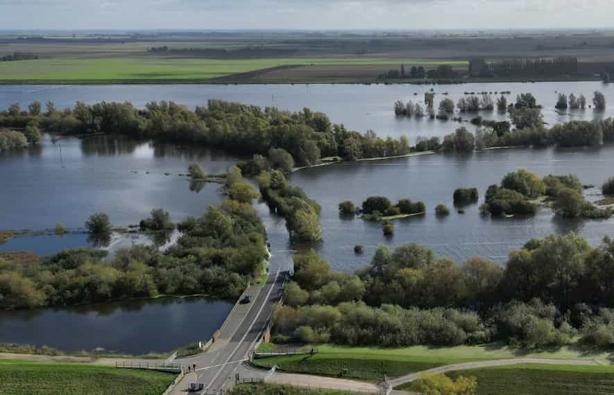
Forecasters say that we could see up to 40mm of rain in just a few hours in some areas. This rain can cause flooding, especially in homes and businesses. A yellow weather warning has been issued by the Met Office from 4 PM until midnight, covering much of South Wales and southern England.
Rainfall Expectations
Some places might receive 20 to 30mm of rain in two to three hours. If you live near the coast or in areas facing south, you are more likely to see thunderstorms. These storms can bring heavy rain, hail, and strong winds. Because of this, driving could become dangerous. You might encounter standing water on the roads or even hail, which can make it hard to see.
What About Travel?
Travel could be affected, especially for those using cars or trains. The heavy rain can create slippery roads and reduce visibility, making it harder to drive safely. If you are planning to travel this evening, consider delaying your trip if possible. Train services may also face delays or cancellations due to the bad weather.
Possible Power Cuts
The Met Office has warned that there might be some short-term power cuts. This could happen because of lightning or strong winds damaging power lines. If you rely on electricity for your home, make sure you have some flashlights and batteries just in case.
Future Weather Outlook
The bad weather doesn’t end today. More heavy rain and thunderstorms are expected across central and southern areas of the UK on Tuesday and possibly into Wednesday. This could lead to further travel issues and flooding.
What to Expect Later This Week
As we move through the week, temperatures are expected to drop. From Wednesday onward, many areas in the north will experience colder weather. Night frosts are also possible, and snow could fall in the higher mountains of Scotland. So, if you’re in these areas, it’s a good idea to prepare for colder conditions.
The Impact of Ex-Hurricane Kirk
You might have heard about ex-Hurricane Kirk. Forecasters are keeping a close eye on its path. Thankfully, it looks like it will track to the south of the UK, hitting northern France with heavy rains and winds instead. Although the path of storms can change, the risk of Kirk causing significant issues in the UK seems low right now.
Staying Safe
With all this bad weather coming, it’s essential to take some precautions:
- Stay Informed: Keep an eye on weather updates from trusted sources like the Met Office.
- Travel Carefully: If you need to travel, check the conditions first. If the weather looks too bad, consider staying home.
- Prepare Your Home: Make sure you have candles, flashlights, and batteries in case of power cuts.
- Help Neighbors: If you have elderly neighbors or those who might need assistance, check in on them to see if they need help.
Our last Words
Today’s weather is expected to be stormy and challenging for many in the UK. It’s important to stay safe and informed. With heavy rain, possible flooding, and travel disruptions, make sure you prepare accordingly. As the week progresses, keep an eye on the forecast, and don’t hesitate to adjust your plans based on the weather.
Stay Updated
For the latest updates, you can visit the Met Office website or follow them on social media. They provide real-time information and tips on how to stay safe during severe weather.
Stay safe out there, and remember that taking a few simple precautions can help keep you and your loved ones out of harm’s way.


